National Meeting in Belize to present RM-GIR risk management platform
Belize City, Belize, February 28 - March 1, 2019
Following up on the implementation the Mesoamerican Network for Integral Risk Management (RM-GIR) in the region with funding from the Interamerican Development Bank (IADB), a national high level and technical meeting was held in Belize City to present the content and management of the information system. Different national institutions that generate information related to risk management met to go over the capacities and possibilities that the RM-GIR system provides and to practice the use of the RM-GIR and its 40 layers of geospatial data that are currently visible for Belize.
The Mesoamerican Network for Integral Risk Management (RM-GIR) is a technical cooperation executed by the Executive Directorate of the Mesoamerica Integration and Development Project (PM) and financed by the Inter-American Development Bank (IADB) for USD 600,000.
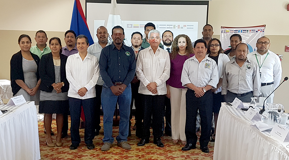
The inauguration ceremony was attended by the Presidential Commissioner of the Mesoamerica Integration and Development Project for Belize, Patrick Andrews, CEO of the Ministry of Foreign Affairs (MFA) of Belize; the Minister of National Emergency Management and Transportation of Belize, Mr. Edmund Castro; the Ambassador of Mexico in Belize, Mr. Carlos Quesnel; the Director of International Affairs of the MFA, Mrs. Orla Kantu; and the Executive Director of the Mesoamerica Project, Dr. Lidia Fromm Cea.
In his opening message, Commissioner Andrews highlighted the importance of the RM-GIR platform for decision-making to reduce deaths, damage and risks regarding impacts caused by natural disasters in the country and in the region.
For his part, Ambassador Quesnel explained that the RM-GIR is an opportunity to improve resiliency. He also reiterated Mexico's commitment to continue supporting the implementation of this type of results for development in Belize.
Dr. Fromm Cea, Executive Director of the Mesoamerica Integration and Development Project, explained the advantages of having a web-based information system that can monitor hurricanes, storms, winds, earthquakes and other events in real time, as well as owning an information system that fosters interinstitutional coordination among different actors in the Belize.

One of the highlights of the meeting was when Mesoamerica Presidential Commissioner and CEO Pat Andrews and Dr. Lidia Fromm Cea handed in a laptop and a desktop to Minister Edmond Castro that was purchased for NEMO to process the geospatial data and use the RM-GIR information system for monitoring and decision making. Minister Edmond Castro delivered a message that reflected NEMO´s vision and commitment to strengthen interinstitutional coordination.
Representatives of the following Belizean institutions participated in this National Meeting:
- Ministry of National Emergency Management Organization and Transport
- Ministry of Foreign Affairs
- Ministry of Works and Transport
- Ministry of Health
- Ministry of Economic Development
- Ministry of Public Service, Energy and Public Utilities
- Ministry of Environment
- Ministry of Forestry
During the first working day, the technical coordinator of the RM-GIR, Eng. Marcos Sandoval, explained to Belize National officers all the details of the information that integrates the platform, its scope and the analysis that can be generated from its review, in order to make better decisions and thus protect and reduce the exposure of the populations and strategic development sectors of Mesoamerican countries in the face of disasters generated by the impact of natural phenomena.
Additionally, participating entities had the opportunity to share their experience in generating the data required to program the information. Therefore, the group identified elements that can be integrated into the RM-GIR platform and thereby contribute to expanding its scope, thus ensuring sustainability in the short and long term.
Under the frame of the communications meeting, officers were introduced to the RM-GIR Communication Strategy and were invited to disseminate the use of the RM-GIR platform in the country.
What is the RM-GIR?
It is a virtual tool of advanced technology that makes available geospatial information available to governments, universities and other actors to monitor disasters, threats and vulnerabilities in order to reduce the loss of valuable lives, ecosystems and infrastructure. The ample geospatial information that is available displays data related to cartography, agrology, weather and geography, guaranteeing the officiality of the information both nationally and regionally.

The tool has been placed on a standardized, easily accessible platform, which can be consulted as an input for the analysis of information and decision making in each country, bringing benefits not only to government institutions in charge of civil protection and disaster management, but also to universities, municipalities and institutions responsible for the development and safety of lives, assets and productive activities.
The project for implementing the RM-GIR is funded by the IADB and has three components:
1. Strengthen the RM-GIR information system.
2. Prepare a Communication Strategy to promote awareness and promotion of the RM-GIR for different users.
3. Produce a Sustainability Strategy for the sustainable use of RM-GIR.
ESPAÑOL:
Reunión nacional en Belize para presentar la plataforma de gestión de riesgos RM-GIR
Ciudad de Belize, Belize, 28 de febrero - 1 de marzo de 2019
En seguimiento a la implementación de la Red Mesoamericana para la Gestión Integral de Riesgos (RM-GIR) en la región, con financiamiento del Banco Interamericano de Desarrollo (BID), se celebró una reunión técnica y técnica de alto nivel en la Ciudad de Belize para presentar el contenido y la gestión del sistema de información. Diferentes instituciones nacionales que generan información relacionada con la gestión de riesgos se reunieron para analizar las capacidades y posibilidades que ofrece el sistema RM-GIR y para conocer el funcionamiento de la RM-GIR y sus 40 capas de datos geoespaciales que actualmente son visibles para Belize.
El sistema de la Red Mesoamericana para la Gestión Integral de Riesgos (RM-GIR) es una cooperación técnica ejecutada por la Dirección Ejecutiva del Proyecto de Integración y Desarrollo de Mesoamérica (PM) y financiada por el Banco Interamericano de Desarrollo (BID) por USD 600,000.
La ceremonia de inauguración contó con la presencia del Comisionado Presidencial del Proyecto de Integración y Desarrollo de Mesoamérica para Belize, Patrick Andrews, CEO del Ministerio de Relaciones Exteriores (MFA) de Belize; el Ministro de Gestión Nacional de Emergencias y Transporte de Belize, Sr. Edmund Castro; el embajador de México en Belize, señor Carlos Quesnel; la Directora de Asuntos Internacionales del MFA, Sra. Orla Kantu; y la Directora Ejecutiva del Proyecto Mesoamérica, Dra. Lidia Fromm Cea.
En su mensaje de apertura, el Comisionado Andrews destacó la importancia de la plataforma RM-GIR para la toma de decisiones para reducir muertes, daños y riesgos relacionados con los impactos causados por desastres naturales en el país y en la región.

Por su parte, el embajador Quesnel explicó que el RM-GIR es una oportunidad para mejorar la resistencia. También reiteró el compromiso de México de continuar apoyando la implementación de este tipo de resultados para el desarrollo en Belize.
La Dra. Lidia Fromm Cea, Directora Ejecutiva del Proyecto de Integración y Desarrollo de Mesoamérica, explicó las ventajas de tener un sistema de información basado en la web que puede monitorear huracanes, tormentas, vientos, terremotos y otros eventos en tiempo real, además de poseer una información. Sistema que fomenta la coordinación interinstitucional entre los diferentes actores de Belize.
Uno de los puntos destacados de la reunión fue cuando el Comisionado presidencial de Belize, Patrick Andrews, y la Directora Fromm Cea hicieron la entrega de una computadora portátil y una computadora de escritorio al Ministro Edmond Castro, que fue comprado para la National Emergency Management Organization (NEMO) para procesar los datos geoespaciales y utilizar la información de RM-GIR Sistema de seguimiento y toma de decisiones. El ministro Edmond Castro transmitió un mensaje que reflejaba la visión y el compromiso de NEMO para fortalecer la coordinación interinstitucional.
Representantes de las siguientes instituciones beliceñas participaron en esta Reunión Nacional:
- Ministerio de Organización Nacional de Gestión de Emergencias y Transporte.
- Ministerio de Relaciones Exteriores
- Ministerio de Obras Públicas y Transportes.
- Ministerio de Salud
- Ministerio de Desarrollo Económico
- Ministerio de Servicios Públicos, Energía y Servicios Públicos.
- Ministerio de Medio Ambiente
- Ministerio de Montes
Durante el primer día laborable, el coordinador técnico de RM-GIR, Ing. Marcos Sandoval, explicó a los oficiales nacionales de Belize todos los detalles de la información que integra la plataforma RM-GIR, su alcance y el análisis que se puede generar a partir de su revisión, para tomar mejores decisiones y así proteger y reducir la exposición de las poblaciones y de los sectores estratégicos de desarrollo de los países mesoamericanos frente a los desastres generados por el impacto de los fenómenos naturales.

Además, las entidades participantes tuvieron la oportunidad de compartir su experiencia en la generación de los datos necesarios para programar la información. Por lo tanto, el grupo identificó elementos que pueden integrarse en la plataforma RM-GIR y, por lo tanto, contribuir a expandir su alcance, asegurando así la sostenibilidad a corto y largo plazo.
En el marco de la reunión de comunicaciones, se presentó a los oficiales nacionales la estrategia de comunicación RM-GIR y se les invitó a difundir el uso de la plataforma RM-GIR en el país.
¿Qué es la RM-GIR?
Es una herramienta virtual de tecnología avanzada que pone a disposición de los gobiernos, universidades y otros actores información geoespacial disponible para monitorear desastres, amenazas y vulnerabilidades a fin de reducir la pérdida de vidas valiosas, ecosistemas e infraestructura. La amplia información geoespacial disponible muestra datos relacionados con cartografía, agrología, clima y geografía, lo que garantiza la oficialidad de la información a nivel nacional y regional.
La herramienta se ha colocado en una plataforma estandarizada y de fácil acceso, que se puede consultar como información para el análisis de la información y la toma de decisiones en cada país, brindando beneficios no solo a las instituciones gubernamentales a cargo de la protección civil y la gestión de desastres, sino también A universidades, municipios e instituciones responsables del desarrollo y seguridad de vidas, activos y actividades productivas.
El proyecto para implementar el RM-GIR está financiado por el BID y tiene tres componentes:
1. Fortalecer el sistema de información de la RM-GIR.
2. Preparar una estrategia de comunicación para promover el conocimiento y difusión de la RM-GIR para diferentes usuarios.
3. Producir una estrategia de sostenibilidad para el uso sostenible de la RM-GIR.